Aquatic Connectivity in the Watershed
Photo credit: NBEP
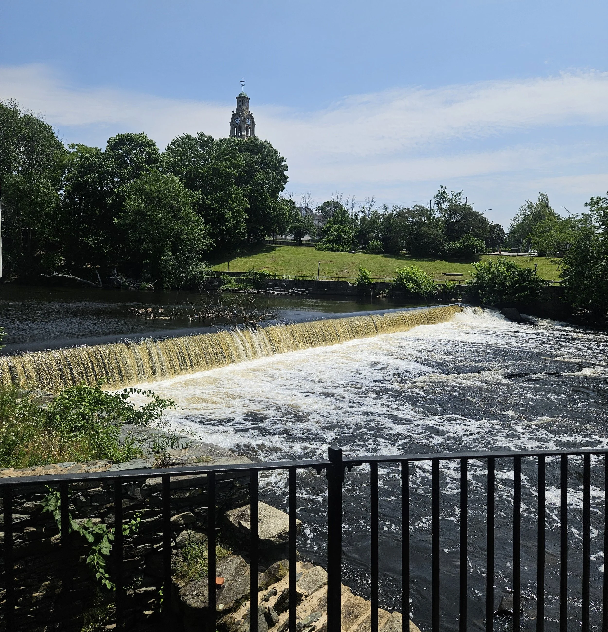
The Narragansett Bay region was once a network of interconnected rivers and streams that snaked through the headlands and down to the salt water of Narragansett Bay and the Atlantic Ocean. The free-flowing water created a landscape connecting forest to riparian zone to the rivers and ultimately to the sea. Millions of migratory fish, such as River Herring (Alewife and Blueback Herring), American Shad, and American Eel, followed the saltwater to the freshwater and back through their life cycle.
Over the last 400 years, man-made barriers, such as dams, tide gates, levees, and culverts have been built to support agriculture, industry, infrastructure, and recreation. These barriers provided the energy that powered the industrial revolution, allowed cities to be built on riparian floodplains, and allowed roads for accessible travel through the region. However, these barriers have had negative, long-lasting impacts to the local ecology. Dams and undersized culverts alter the ecology through impacts to stream velocity, nutrient transport, sediment transport, reduced or completely prevented organism passage, and exclusion of migratory fish to historic breeding grounds, and more. Nearer to the coasts, tide gates or undersized culverts limit tidal access to salt marsh, which reduces sediment available for marsh surface accretion and ultimately contributes to salt marsh subsidence.
Approximately 1,000 dams dot the region, and most of them no longer serve their original purposes in powering mills, supplying water, or providing recreational space for the community. Additionally, over 3,000 culverts occur unseen under roadways, and many were not designed in ways that support organism passage or provide resilience to large storm events. Overall, many of these barriers have outlived their usefulness, fallen into disrepair, and/or are safety hazards to those who live around them. Removing such barriers can provide many regional benefits towards flood risk reduction, water quality improvements, and ecosystem resiliency, to name a few.
While this is a large undertaking, the past few decades have seen a massive movement nationally, and here in New England, towards dam removal and reconnecting the nation's waterways. Collaborative work throughout the Narragansett Bay region has focused on reconnecting the system by removing barriers and improving connections between the landscape, the freshwater, and the saltwater. Regional efforts to improve aquatic connectivity have included community outreach, assessment and prioritization of projects, barrier removals, and new convening opportunities, such as today’s event. Today, we will discuss all the steps between planning and passage, explore case studies linking these projects to other initiatives, and identify mechanisms to implement robust solutions towards our most pressing challenges.

Map of known dams in the Narragansett Bay watershed.
Map by Mariel Sorlien for NBEP.
NBEP Project Roles and Background Information
NBEP works closely with partners to advance aquatic connectivity projects in the region. Our primary roles are through convening, science communication, and project funding.
Convening: NBEP brings together researchers, managers, habitat restoration experts, interested public members, and many other groups together to work towards expanding and simplifying processes for removing aquatic barriers in the watershed.
Science Communication: NBEP seeks to promote knowledge of priority projects that maintain and improve the water, wildlife, and way of life in the region. We connect with many types of audiences by creating tools, maps, and print materials, hosting workshops and events, and promoting science-based, solutions-driven work in the region.
Funding: NBEP has awarded over $2.2 million in funding towards aquatic connectivity projects since 2022. We prioritize providing funding for capacity building and pre-construction work, such as design and permitting.
Funded Aquatic Connectivity Projects
We are currently seeking proposals for capacity building, design, and planning activities to improve aquatic habitat connectivity in the Narragansett Bay, Little Narragansett Bay, and Coastal Ponds watersheds in Rhode Island, Massachusetts, and Connecticut (Narragansett Bay Region). Proposals are due December 1st, 2025. Please see more information here.
2024 Projects
-
The Wood-Pawcatuck Watershed Association was awarded $150,000 to produce permit-ready engineering designs to remove the Hudson Pond Dam on Kelley Brook in West Greenwich, RI. The removal of the dam would open 5.27 stream miles and expand the habitat for wild brook trout, American eel, Eastern pearlshell mussel, and the wood turtle.
-
The Blackstone Watershed Collaborative was awarded $181,884 to produce permit-ready engineering designs to remove two dams on the Mumford River in Douglas, MA. The removal of these dams, which are classified as significant hazard and in poor condition, would open 4.6 river miles and expand the cold-water habitat for Eastern brook trout and other species.
-
The Woonasquatucket River Watershed Council was awarded $58,876 to advance engineering designs to remove the Atlantic Mills Dam in Providence, RI. The dam and existing fishway were both damaged due to historical flooding in December 2023 and January 2024. Removing the dam will open 2 river miles for fish passage, especially herring, which is currently blocked. Removal of this dam will also reduce flooding risk at Riverside Park and downstream the in Olneyville section of Providence.
Events

From Planning to Passage: Advancing Aquatic Connectivity in the Narragansett Bay Region
October 27th, 2025
Cumberland Public Library Hayden Center
Cumberland, RI
Geared towards practitioners in the region, this collaborative workshop will focus on case studies, best practices, and resource sharing related to reconnecting saltwater and freshwater habitats in the Narragansett Bay watershed. We will discuss approaches for prioritizing projects, strategies for simplifying pathways to project completion and identifying funding sources, and ways to incorporate connectivity within larger resilience projects. Highlights of this event include a panel presentation on sediment management considerations during dam removal projects, workshopping approaches to community engagement, a resource and planning tool “cafe”, and more!
Related Resources
Want more information about this work? Check out some other resources by NBEP and its partners:
Websites/Tools:
Data Resources: